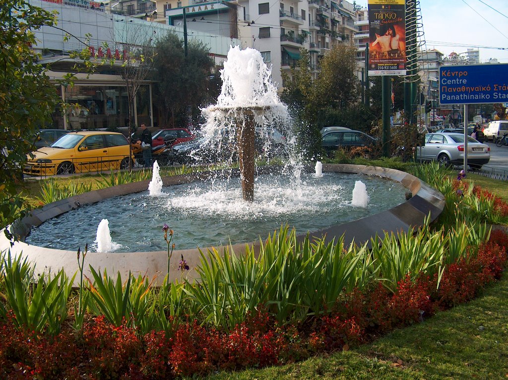
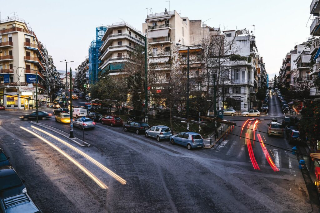
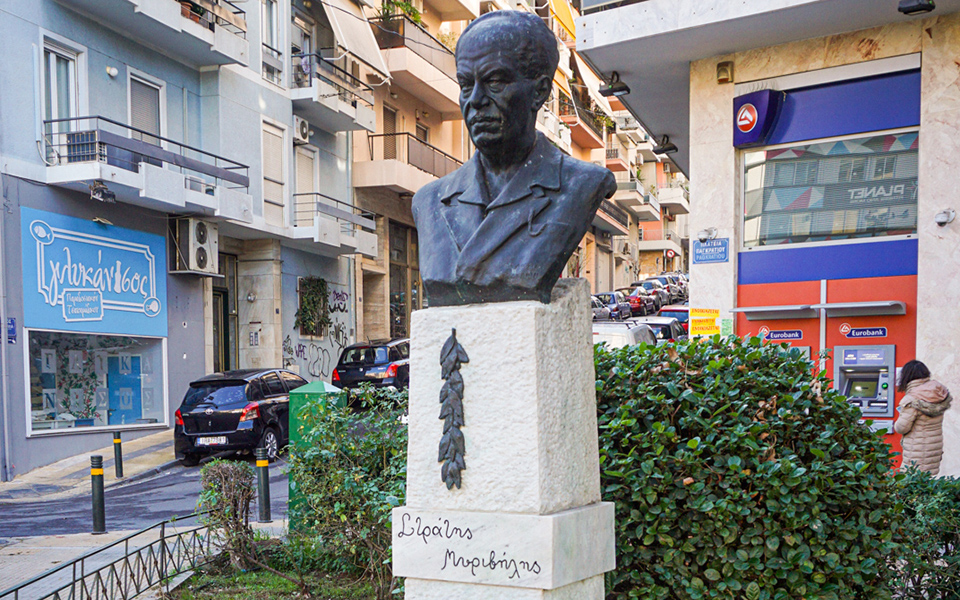
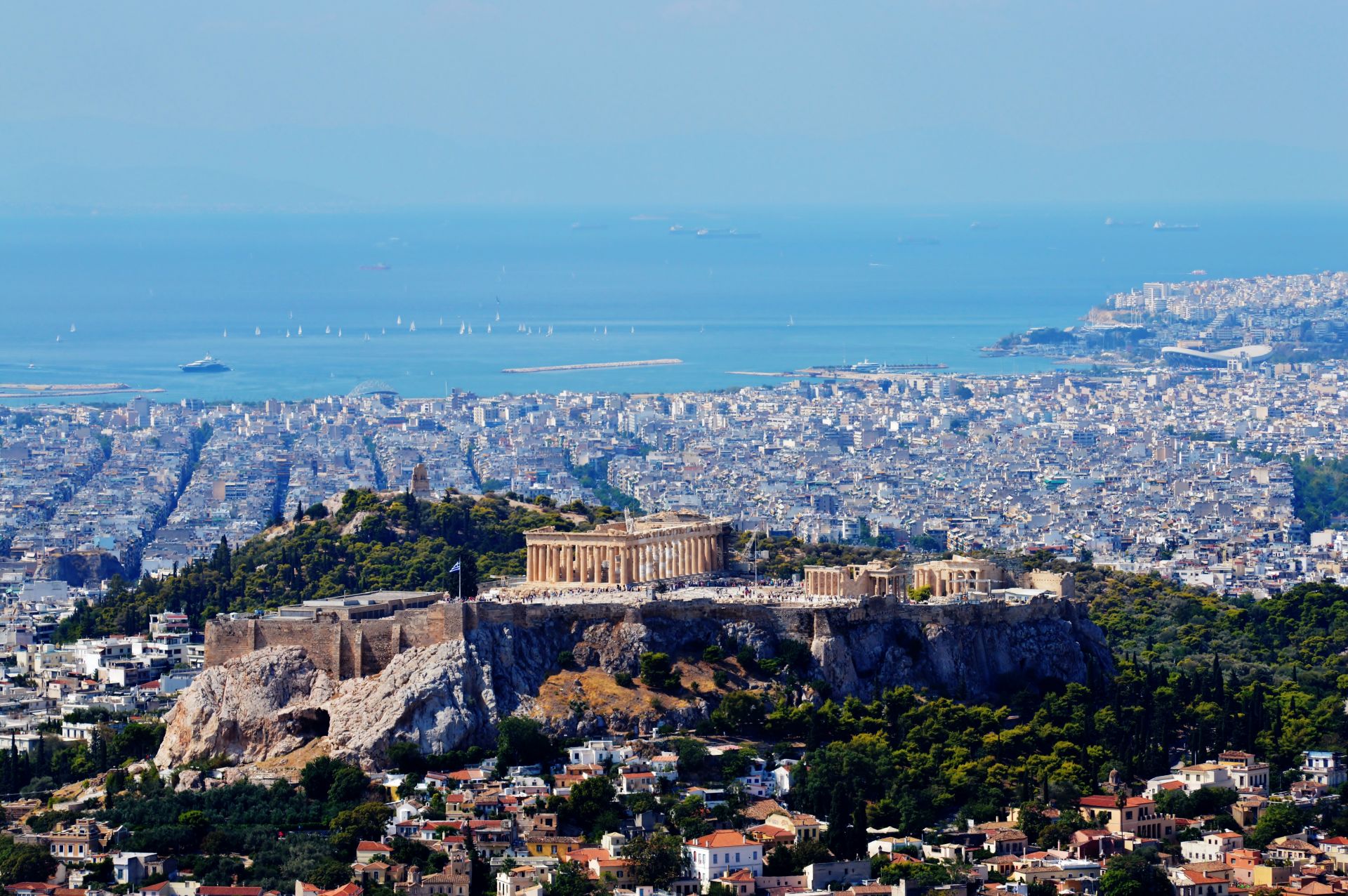
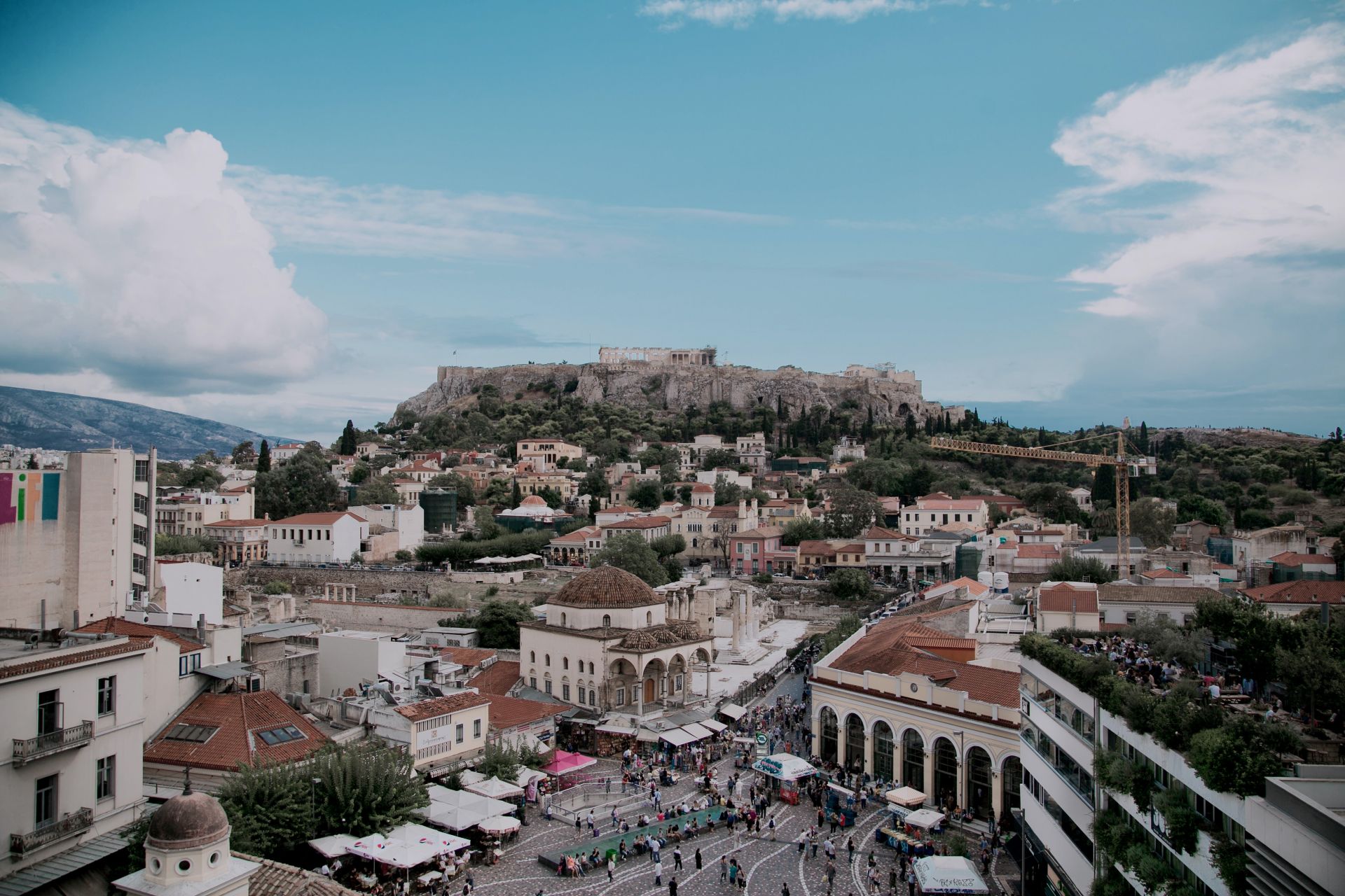
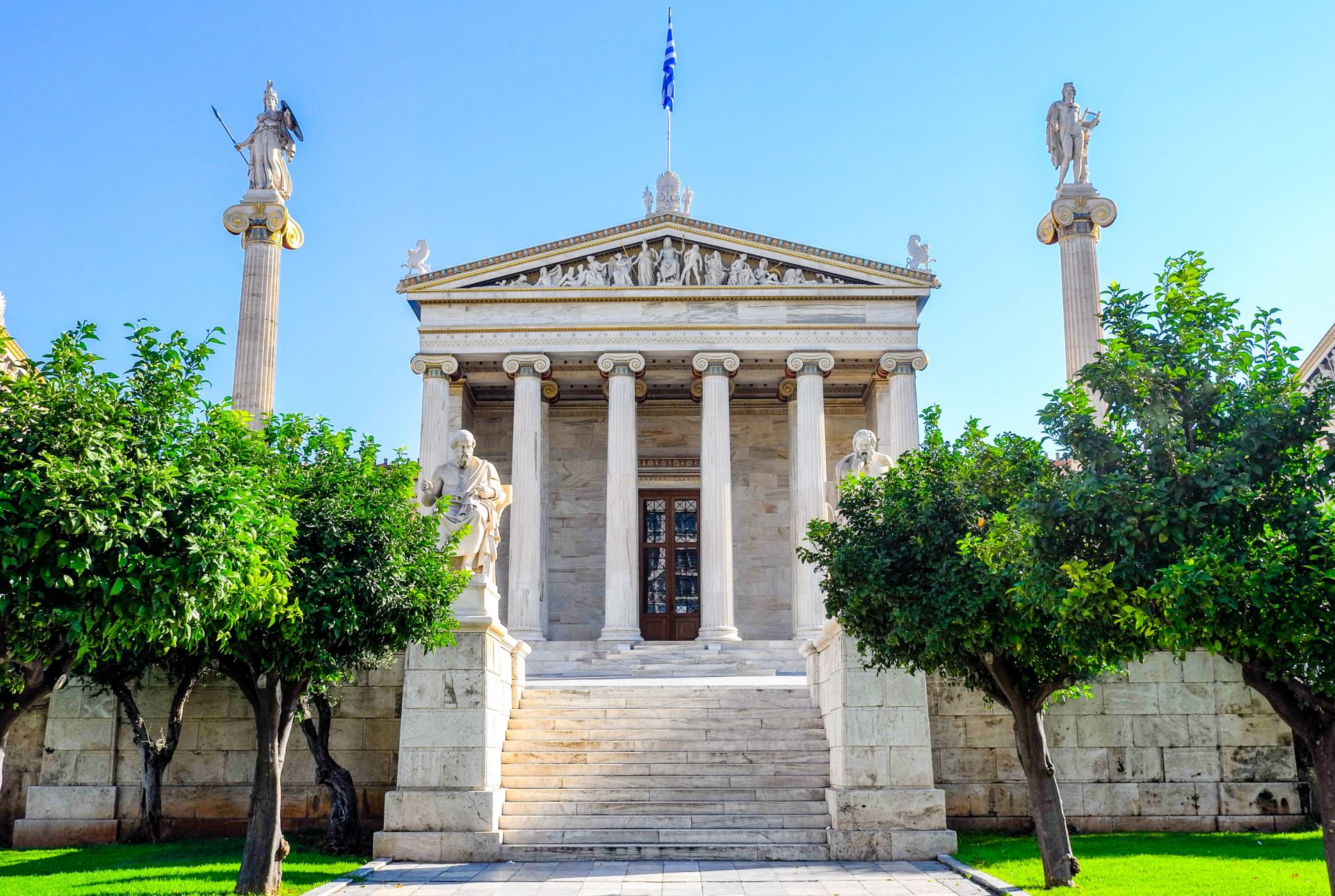
Pagrati is a district of the eastern part of the Municipality of Athens that extends east of Vasilissis Sofia Avenue at a short distance from the historical center of Athens. It administratively belongs to the 2nd Municipal district (with a small part of it belonging to the 1st), neighboring Byron, Kolonaki, Kaisariani, Ilisia and Metz)
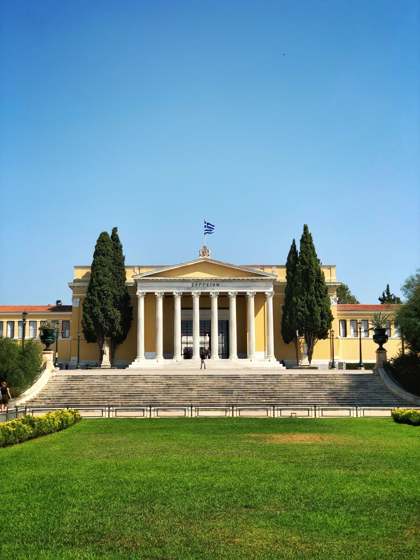
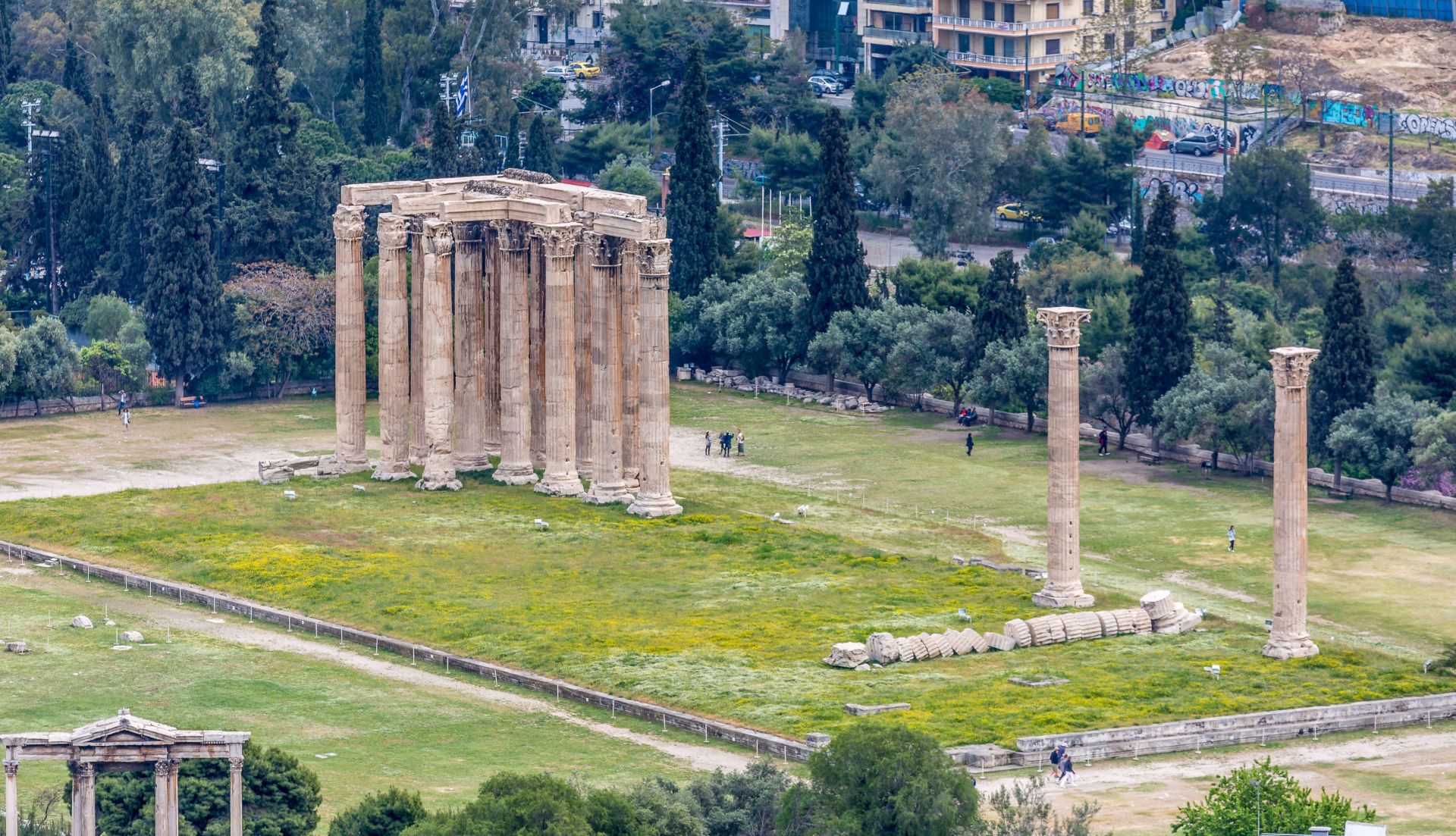
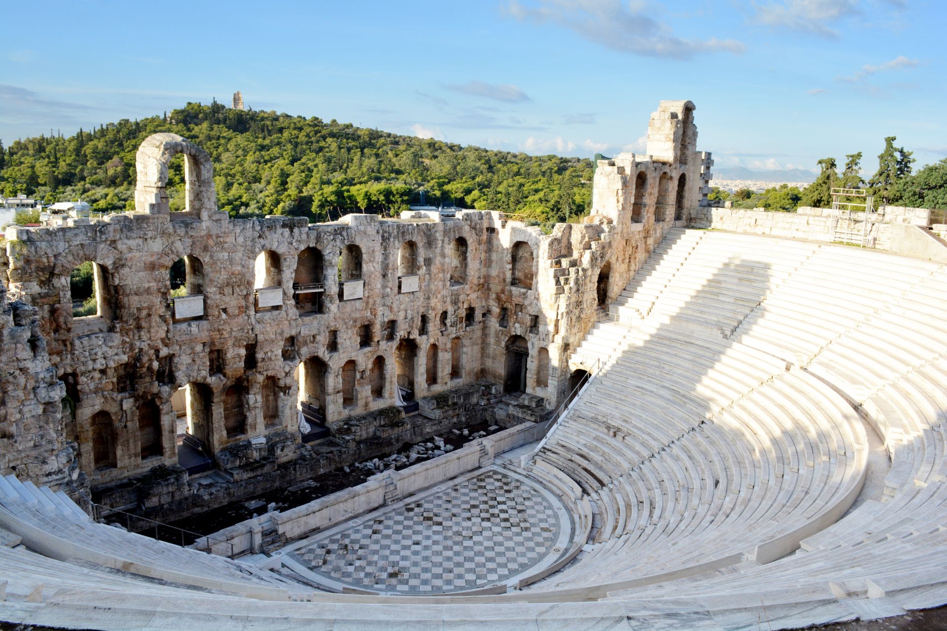
The core of the district was developed to the east and southeast of the river Ilisos (today Vasileos Konstantinou Avenue) which at the end of the 19th century. it was the border of the city, in the area from Kallimarmaro to the hill of Prophet Elias. As Kostas Biris noted, before the district was developed, the area was called Pagrati or Pagrati. Between Athens at the time and Pagrati, “the Zappeion, the Royal – National Garden and the camps along the Ilissos” mediated. As mentioned in the Eleftheroudakis encyclopedia of the interwar period, Pagrati was “a district of Athens, outside the area of the city plan, at the ends of Vatrahonissiu towards Ymitton hill”. Pagrati is identified with the Agra municipality of antiquity.
Pagrati is one of the list of the << 50 coolest neigrhorhoods in the word >> Pagrati e nella lista dei << 50 quartieri piu cool del mondo >>